Southern Armenia: A Traveller's Guide to Mountains and Monasteries
Explore southern Armenia's dramatic mountains, wine country and monasteries, from Tatev and Noravank to cave towns, hot springs and spectacular hiking trails.
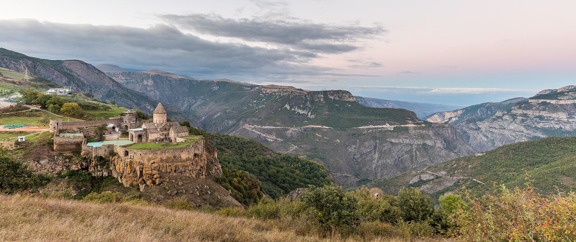
Photo: Diego Delso · CC BY-SA 4.0 · via Wikimedia Commons
The southern region of Armenia is a succession of high mountain ranges, valleys, gorges and forests. You cross its impressive changes in elevation thanks to a motorway that runs vertically through it. This wine-growing region is the most popular in Armenia.
Southern Armenia is a land of deep gorges, sheer cliffs, natural caves and whole towns carved into the rock. Here you will discover historic monuments: monasteries, caravanserais and fortresses, as well as Zorats Karer, Armenia’s “Stonehenge”.
You can rest and recharge in its spas, which draw on the region’s natural hot springs.
Hiking and cycling
Southern Armenia is a paradise for hikers and cyclists, provided the steep gradients do not put you off!
From Sisian to Tatev, from Tatev to Kapan, around the Shikahogh reserve, in the surroundings of Yeghegnadzor, Noravank Canyon and in the valleys of Sion, you can cycle and walk as much as you like, watch for wildlife and enjoy the extremely varied flora along the way.
If you arm yourself with patience, you can lie in wait to observe squirrels, voles and dormice, woodcock, Caucasian pheasants, roe deer, Syrian bears, lynx, wild boar and wildcats. The oaks, beeches, hornbeams, wild cherries, dogwoods and wild roses teem with tits, woodpeckers and robins.
The Monastery of Noravank
Surrounded by red cliffs, Noravank is one of Armenia’s most popular attractions. Access to the church is by stone steps that jut out from the façade. The site is full of intricate carvings on the churches and of khachkars (Armenian steles).
The Monastery of Tatev
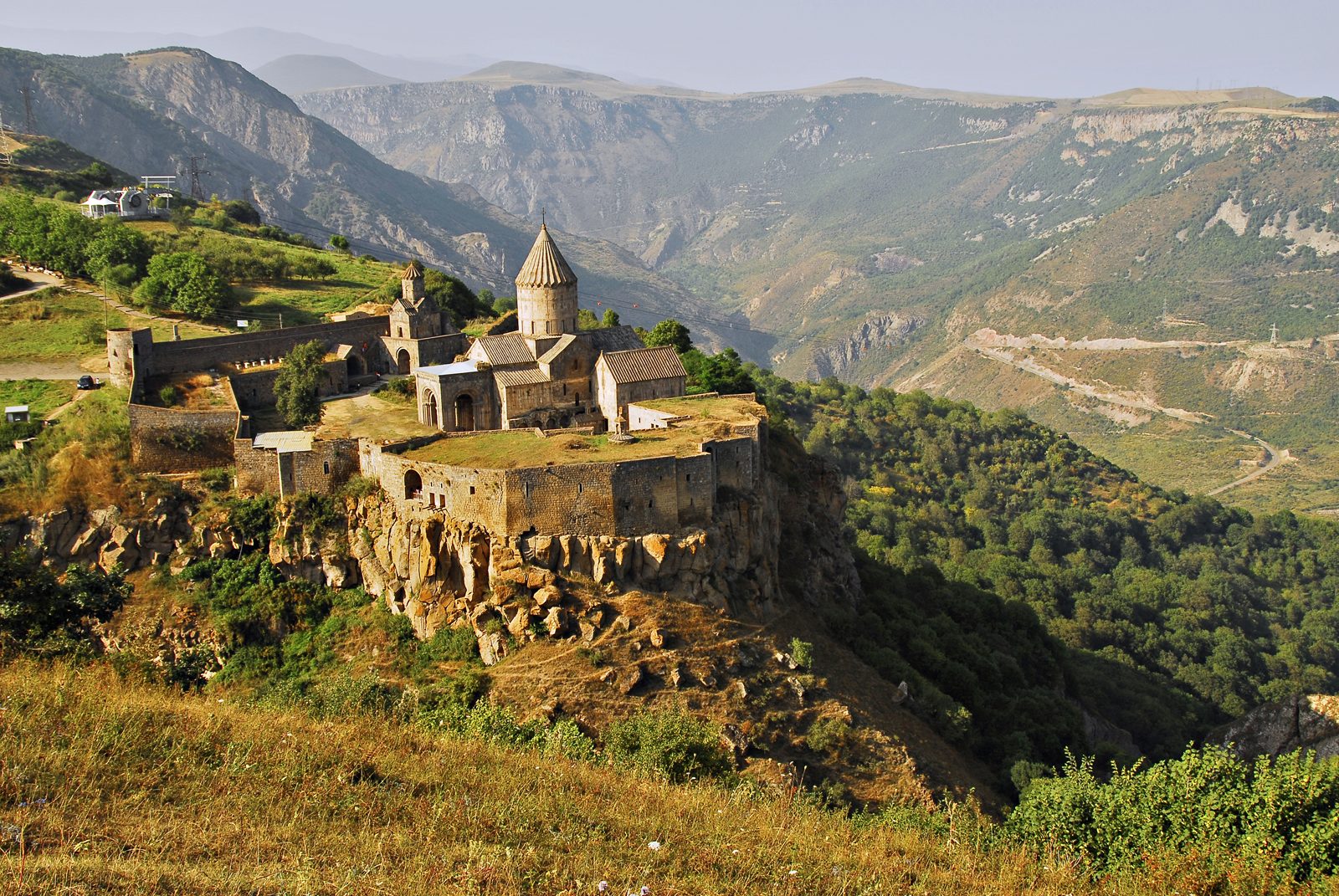
The Monastery of Tatev is renowned for its grand architecture and its setting within a staggering landscape. The imposing complex is an extension of a sheer cliff that drops away for hundreds of metres below.
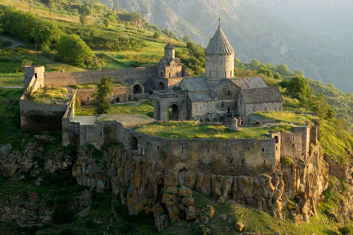
Once the seat of great wealth, it controlled much of the surrounding countryside. It endured invasions, peasant rebellions and earthquakes.
A severe earthquake in the twentieth century caused significant damage that was partially repaired during the Soviet era. Today it remains an extraordinarily spectacular site, at the foot of which you will find the Devil’s Bridge.
The Devil’s Bridge
At the foot of a steep canyon, with its river below, this natural land bridge is called the Devil’s Bridge (Satanayi Kamurj). Here you will find a spring of sparkling water that you can drink at the roadside, and, if you go down the little path, you can swim in a pool fed by a spring.
A demanding descent beneath the land bridge will reward you with stalactites, stalagmites and small pools in a cavernous tunnel. The spot is ideal for a picnic.
The Ughtasar petroglyphs
The spectacular site of Ughtasar lies in a valley with a lake, surrounded by mountain peaks. The valley is scattered with enormous rocks engraved with petroglyphs, symbolic drawings carved into stone in its natural state. This rock art dates from the 5th to the 2nd century BC.
Situated at over 4,000 metres of altitude, the site is only accessible from July to September. The nights there are very cold and you will find yourself among eternal snows.
The Selim Caravanserai
The Selim Caravanserai is an old stopping point on the Silk Road. Located a few metres from the top of a windy mountain pass leading to Lake Sevan, it offers a spectacular view. The building has been preserved in its original form.
Old Khndzoresk
Old Khndzoresk is a small cave town that was abandoned only in the 1960s. It lies in a magnificent lush canyon, below New Khndzoresk.
The rock formations, the ruins and, of course, the many caves carved out by people over the centuries are astonishing to explore.
The Shikahogh Reserve
One of the most pristine regions in Armenia, Shikahogh is now crossed by the main north–south motorway. But the forests remain the most beautiful, the wildlife abundant, the views of Iran from the ridges of the southern mountain range are impressive, and its Mtnadzor canyon has remained wild.
Zorats Karer
Zorats Karer is the Armenian equivalent of Stonehenge. These standing stones, more than 2,000 years old, are also called Karahunj. Kara means “of stone” in Armenian.
It is worth stopping here to try to decipher the inscriptions. According to archaeologists, the site was used as a small settlement in Roman times. There is no evidence of astronomical use, but the panorama is well worth a visit.
The Areni wine region
Armenia is one of the countries where the vine originated, with more varieties of wild vine than anywhere else in the world. Areni is an ancient wine-growing region, and its wines pair beautifully with Armenian cuisine. Its grape variety is a renowned speciality.
Tsakhats Kar
The Monastery of Tsakhats Kar, perched in the mountains facing Smbataberd, makes for a magnificent hike from the village below.
Smbataberd
The fortress of Smbataberd is a natural fortification that surrounds one of the largest fortresses in Armenia. The view over the valley is impressive and the drop rather frightening.
It was founded in the 5th century and reinforced between the 9th and 10th centuries. It is hard to imagine it ever being taken by force.
The caves of Mozrov and Arjeri
These rugged caves of Mozrov and Arjeri were mapped during the Soviet era, but there are no markers, no lighting and no facilities to access them. And yet, if you can find a guide, they are truly worth the detour.
Mozrov is only 700 metres long, but its formations are magnificent. The Arjeri cave, the cave of the bears, is a more extensive network of caves. Both caves make prized shelters for bats.
Jermuk
Make the most of your holiday to treat yourself to a spa in the thermal town of Jermuk, from which much of the country’s mineral water comes. The town is characterised by a mild climate and pure air, and it is full of sanatoriums. The ski resort’s cable car takes you, in summer and winter alike, up to 2,480 metres of altitude for an unobstructed view over the region.
The Jermuk waterfall
The Jermuk waterfall is the second largest waterfall in the country, situated at 2,000 metres of altitude, with a drop of 70 metres.
Its legend tells the story of a very beautiful princess whom many princes wished to marry, but who had fallen in love with a shepherd’s son. They would meet in secret at this spot, and the princess would throw a rope down into the gorge so that her lover could climb up to her.
When the king learned of his daughter’s love story, he forbade her from seeing her beloved, threatening that she would be turned into a mermaid forever. Of course, the lovers could not resist despite the threat. Deprived of her rope, the princess threw down her hair. The curse was instantly fulfilled, turning her hair into this magnificent waterfall.
Skiing at Jermuk
If you visit Armenia during the winter months, you can go skiing at Jermuk. Its professional ski slopes are a favourite destination for many locals and foreigners who enjoy exploring lesser-known resorts.
The Monastery of Gndevank
Built in the 10th century, the Monastery of Gndevank is an ideal place to enjoy the harmony of nature. This charming spot offers the finest example of medieval Armenian architecture. The site is home to a profusion of tombs and khachkars, dated between the 10th and 16th centuries.
Plan your visit
The south rewards those who give it time, from Tatev’s cliffs to the wine cellars of Areni. Build your own itinerary or book an all-inclusive tour with us, and read our guide to hiking in Armenia to make the most of the region’s trails.